MapScaping Podcasts on Laser Communication and AI for Earth Observation
Submitted by editor on
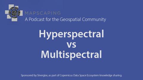
Listen to the MapScaping Podcasts where we introduce a series of talks on the core problems of remote sensing, to help new users of the Copernicus Data Space Ecosystem enhance their background knowledge. We wrote about the first one already in this news post where Gordon Logie from Spark Geo discussed one of the long-standing problems of remote sensing: Does higher spectral resolution always lead to better end products? Now we invite you to listen to Using Lasers to talk to satellites and Computer Vision and GeoAI episodes.