Planet Labs Germany GmbH, a leading provider of daily data and insights about change on Earth, today announced an enterprise-scale agreement with the Surveying and Mapping Authority of the Republic of Slovenia (GURS) to provide comprehensive satellite data and high-resolution tasking capabilities across the country’s civil public administration.
News
26 Jan 26
17 Nov 25
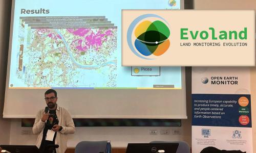
The Evolution of the Copernicus Land Service Portfolio (Evoland) project, which began almost three years ago, will conclude this December. Over the last 36 months, the consortium led by Vito (and including IIASA, CLS, CESBIO, Sinergise, Joanneum Research, CNES, DLR, GAF and Evenflow) has developed 12 next-generation Copernicus Land Monitoring Service (CLMS) product candidates.
24 Oct 25
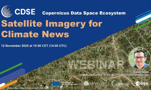
Join us for our next Copernicus Data Space Ecosystem (CDSE) webinar, "Satellite Imagery for Climate News," on November 12, 2025. This session is especially recommended for journalists, researchers, and anyone interested in how Earth Observation data shapes our understanding of climate change.
23 Sep 25
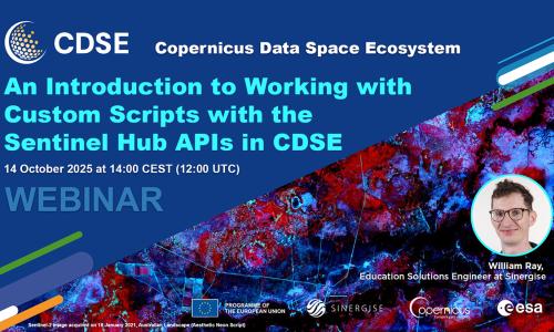
We are excited to announce the next Copernicus Data Space Ecosystem (CDSE) webinar, hosted by Sinergise, taking place on October 14, 2025. This session will focus on “An Introduction to Working with Custom Scripts with the Sentinel Hub APIs in CDSE.”
11 Aug 25
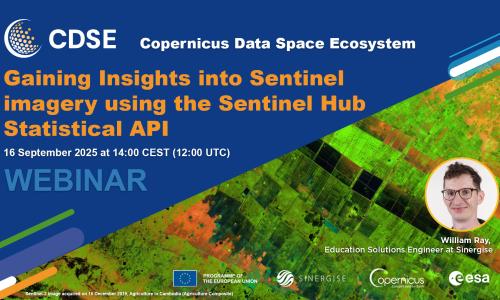
Join us for our next Copernicus Data Space Ecosystem webinar on 16 September at 14:00 CEST. In this session, William Ray from Sinergise will demonstrate how to leverage this powerful API to extract detailed information from Sentinel data. He will cover the API's core capabilities, guide you through building requests with a focus on Time Range and Aggregation Intervals, and explain how to use evalscripts. William will also showcase curated examples from the notebook-samples repository in the CDSE Jupyter Lab, providing practical, hands-on insights.
04 Jun 25
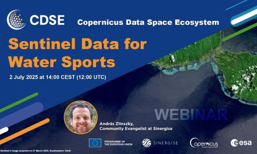
Join us for our next Copernicus Data Space Ecosystem webinar on 2 July at 14:00 CEST. This session will explore how readily available Sentinel satellite data can be utilized by water sports enthusiasts and professionals alike, offering insights into conditions relevant for activities such as sailing, surfing, and kayaking.
András Zlinszky from Sinergise will guide you through using satellite imagery to enhance your water sports preparation. Here's what we'll cover:
06 Mar 25
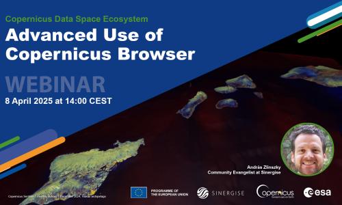
Join the next CDSE webinar to learn more about advanced visualization and data analysis in Copernicus Browser. We will explore different ways to view multi-temporal data, compare layers, create and export timelapses and time series charts, and create mosaics from images.
28 Jan 25
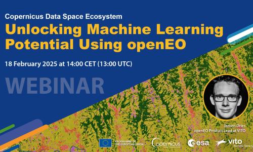
The openEO API instance offered in the Copernicus Data Space Ecosystem enables the creation of large-scale maps using time series pixel classification at relatively low operational costs. In addition, workflows remain simple and maintainable as all complexity is handled by the backend.
16 Jan 25
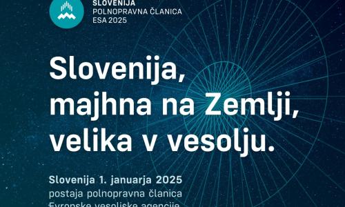
Slovenia became a full member of the European Space Agency (ESA) on January 1, 2025. We are proud that Sinergise can be part of this success story, which brings numerous economic benefits and promotes the development of advanced technologies. Under the auspices of the Slovenian Space Office and in cooperation with RTV Slovenia, an educational series titled "Veliki slovenski pok" (The Big Slovenian Bang) was created to mark this milestone. The series highlights the importance of participation in the Space Agency and Slovenia's contributions in various fields of research.
09 Dec 24

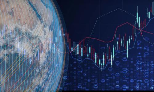
Broad area management is the practice of monitoring, measuring, and reporting changes across large, dispersed areas using Earth observation data. This approach enables stakeholders to identify patterns, make informed decisions, and respond quickly to dynamic conditions, such as forest health, deforestation activity, and other land use.