Jump to navigation

Home

Sinergise

Menu

  • Solutions
    • Remote sensing and machine learning
    • Agriculture
    • Copernicus Data Space Ecosystem
    • GIS tools
  • News
  • About
    • What we do
    • References
    • Documents and Articles
    • Press
    • Contact
  • Careers

Language

  • En
  • Sl
  • Ro
Home > What we do > Documents and Articles

Documents and Articles

View some of our public articles and documents. If you have any questions, write an email to info@sinergise.com.
 

Documents

  • FTP Instructions

Articles

  • Project Hercules: The Knowledge Hub is Operational
  • Geodis Sinergise
  • GeoCAP - Quality of LPIS data
  • NSDI - LPIS in Skopje
  • NSDI - Geopedia in Skopje
  • Natural images from the birthplace of the Human Eye
  • Capigi - Rise of crowd-sourcing
  • Uncertainty of LPIS Data or How to Interpret ETS Results - Supplementary material
  • Uncertainty of LPIS Data or How to Interpret ETS Results
  • GeoCAP - Uncertainty - Presentation
  • GeoCAP - Uncertainty - Supplement
  • Replicating the LPIS around the EU
  • Progress of LPIS in Macedonia
  • Integrating External Registers within Farm Registry

About

  • What we do
  • References
  • Documents and Articles
  • Press
  • Contact

Various solutions

  • Area Monitoring A combination of vast experience of CAP, world-leading Sentinel hosting and processing and advanced ML, providing a generic service for crop markers right across Europe.
    Area Monitoring Service
    Remote Sensing
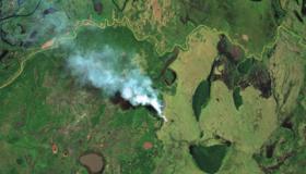
  • Sentinel Hub Sentinel Hub makes satellite data (Sentinels, Landsat and other providers) easily accessible for you to be browsed or analyzed, within our cloud GIS or within your own environment.
    Sentinel Hub
    Remote Sensing
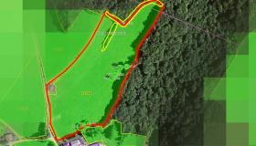
  • Land Cover Monitoring System Automatic land cover classification, crop type classification and detection of changes in land cover through time. All that is done using ML and it works on a level of an entire...
    Land Cover Monitoring System
    Remote Sensing
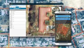
  • Geo Spatial Aid Application Web application that includes the basic GIS tools and managing data through intuitive GUI.
    Geo Spatial Aid Application
    Agriculture
  • We have built several systems and applications, which ensure efficient data management collection and, most importantly, ensure highest quality of results
    Field Data Collection
    GIS tools
  • Satellite-based earth observation products are getting more and more accessible but using them is still difficult.
    Satellite imagery archive within GIS in the Cloud
    GIS tools
  • Mass digitization is one of the approaches for large spatial data sets acquisition.
    Mass digitization of spatial data
    GIS tools
  • GIS tools for Android help you work with spatial data anywhere and anytime. Offline support gives additional value over web applications.
    GIS for Android
    GIS tools
  • Solution for visualizing spatial data in 3D for better understanding.
    3D viewer
    GIS tools
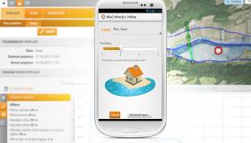
  • Mobile GIS fully supports the process of the on-the-spot checks in accordance with the IACS regulatives.
    Mobile GIS
    GIS tools
  • Orthorectification is a process that rectifies images (e.g. scanned cadastre plan) based on a reference layer (e.g. aerial imagery).
    Orthorectification
    GIS tools
  • Using projected augmented reality we can unite physical and virtual objects.
    Projection augmented model
    GIS tools

About

  • What we do
  • References
  • Documents and Articles
  • Press
  • Contact

Solutions

  • Remote sensing and machine learning
  • Agriculture
  • Copernicus Data Space Ecosystem
  • GIS tools

Sinergise Solutions d.o.o.

Cvetkova 29,
1000 Ljubljana,
Slovenia

T:+386 (1) 320 61 50
F:+386 (1) 620-22-28
E: info@sinergise.com

All Rights Reserved.

Legal | Privacy