Home > Solutions > GIS tools > Orthorectification

Orthorectification

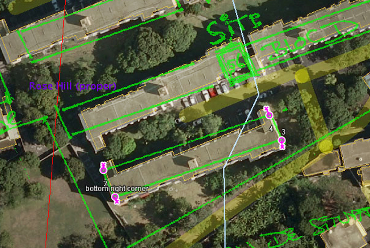
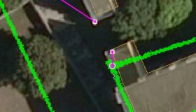
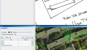
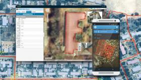
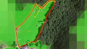
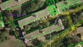
Orthorectification is a process that rectifies images (e.g. scanned cadastre plan) based on a reference layer (e.g. aerial imagery). Rectified image is then geometrically corrected. This functionality is commonly used in Land Cadastre (digitization of cadastre data) or for geo-locating scanned paper maps.

Amongst important features are:

  • constrain proportions or shearing
  • make background of the image transparent
  • replace colors (e.g. black border colors to be presented red which is easier to notice on underlaying satellite imagery)


Find out more about Orthorectification in the video below.

Various solutions

Orthorectification | Sinergise

Error

Error message

PDOException: SQLSTATE[53100]: Disk full: 7 ERROR: could not access status of transaction 0 DETAIL: Could not write to file "pg_subtrans/0088" at offset 237568: No space left on device.: UPDATE queue SET expire=:db_update_placeholder_0 WHERE (item_id = :db_condition_placeholder_0) AND (expire = :db_condition_placeholder_1) ; Array ( [target] => default [return] => 2 [already_prepared] => 1 ) in SystemQueue->claimItem() (line 249 of /opt/drupal/modules/system/system.queue.inc).
The website encountered an unexpected error. Please try again later.