News
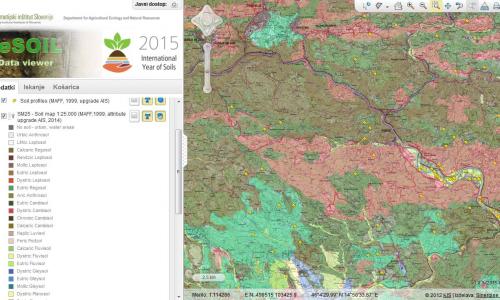
Agricultural Institute of Slovenia and Sinergise developed the Soil Data Information Centre, which allows online access to the interpreted soil data and soil-related data, which are relevant for farming, environment protection and natural resources.
Sinergise is participating in the "Development of key registers in land administration in the UNECE region" workshop, which will take place on the 29 - 30 October 2015 in Baku, Azerbaijan.
The workshop will be hosted by the UNECE Working Party on Land Administration (WPLA), the Food and Agriculture Organization of the United Nations (UN FAO) and the State Committee on Property Issues of the Republic of Azerbaijan (SCPI).
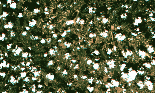
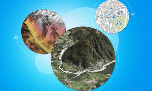
Copernicus data from a series of Sentinel satellites are revolutionizing earth observation. Free, full and open access to data with very short revisit times, high spatial resolution, and good spectral resolution are crucial for many applications.
Sinergise is growing rapidly so to support this growth the headquarter office has moved to a more suitable location: bigger, better and more convenient for this new and exciting period we are starting now.
We spent the last years in Technology park Ljubljana and served us well (we made great memories) but we need more space and some kind of independence. At the Cvetkova 29 Ljubljana, we have found a location that fits our ambitions.
Sinergise launches Geopedia World!
Geopedia World is a new version of Geopedia, a web based application for searching, viewing, and editing of geographical data available to many clients at the same time. It offers worldwide coverage, hence World in its name. Sinergise invites you to have a look, no plugins are required, it simply runs in your browser! Click the Geopedia link at the top right of this window to go there.
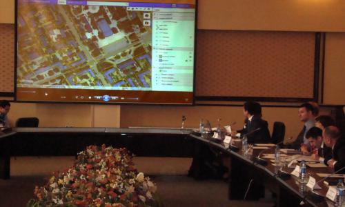
On Thursday, 9.5.2015, a public presentation of the project outcome, as well as overall presentation of mass valuation practices happened in Baku, Azerbaijan. Several Azeri news agencies participated, as well as people from Ministry of finance and other ministries.
Within the project Sinergise has developed several applications:
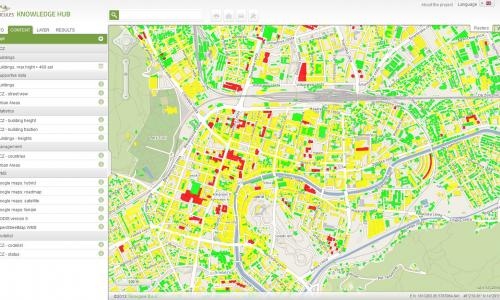
The HERCULES project is in full swing and we continue to develop Knowledge Hub - a repository of spatial data paired with web-based GIS application.
Sinergise actively participated in the European Space Expo, that visited Ljubljana from 6 - 15 March 2015 (Kongresni trg).
The Expo presented key information on the European space programmes - from satellite navigation (Galileo and EGNOS) to Earth observation (Copernicus) in an engaging and entertaining way. Highlights include the 'OmniGlobe' - an interactive hologram of the earth's atmosphere, an impressive model of the 'Galileo' satellite and lots more...

