News
20 Oct 14

At Sinergise we have developed a field data collection tool for mobile devices. This enables you to collect field data or conduct field surveys easier than ever before.
System includes advanced GIS tools which allow for quick and efficient capturing, editing or displaying of geographic information. It is a cloud based application which further simplifies data collection and most importantly, ensures the highest quality of results.
09 Oct 14

We have established a subsidiary in Serbia, which will focus to solutions for agriculture.
More information about CleverFarm, please visit:
Subsidiary address:
CleverFarm d.o.o.
Dvorac Fantast, Bačkotopolski put
Bečej, Serbia
06 Aug 14

Republic of Moldova has recently signed an association agreement with European Union. To support their needs in land administration and agriculture fields, we have established a subsidiary, Laboratory for geographical information systems s.r.l, lead by Honorary Consul General of Republic of Slovenia, Leonard Gorceac.
28 May 14

One of the latest developments at Sinergise has been the introduction of a web-browser-based 3D viewer of Slovenia.
25 Apr 14

Sinergise has been awarded the project "Development of MOLDLIS – a Real Property Information System for Moldova", funded by Norwegian Mapping Authority, to be used by Agency for Land Relations and Cadastre of the Republic of Moldova and by its State Enterprise CADASTRU.
The project, led by Sinergise, involves four partners:
25 Feb 14

Based on the real-estate tax Surveying and Mapping Authority of the Republic of Slovenia manages information about land coverage for lands under public infrastructure. Data is managed by authorities, competent for individual infrastructure.
These authorities will provide data through special web application. All the data is managed through graphical layers under infrastructural buildings. These layers are fundamental for assigning land cover procentage under infrastructure buildings. In the applications there are 4 different graphical layers:
14 Dec 13

In the beginning of December we have started a new project - Pilot project for Real estate mass valuation in Sumgait city, Azerbaijan - under State Committee on Property Issues of The Republic of Azerbaijan.
The project, lead by Sinergise, joins three partners:
06 Dec 13

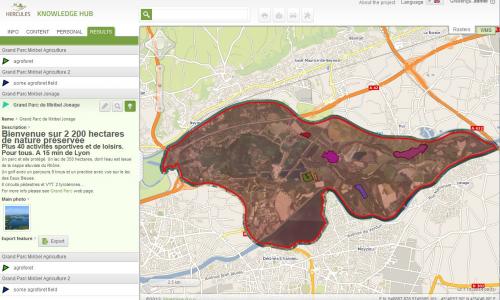
Sinergise is a partner in the newly funded HERCULES project, a joint collaboration of research institutes, universities, SMEs and NGOs working on a newly funded HERCULES project.
04 Dec 13

19th MARS annual conference is taking place in Vilnius, Lithuania. This year we are participating with CleverMaps, with whom we are currently working on various projects, related to GIS and farming.