Sentinel Satellite Data for Mountain Sports and Safety - Copernicus Data Space Ecosystem Webinar
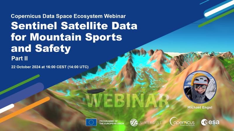
Join the next Copernicus Data Space Ecosystem webinar on 22 October 2024 at 16:00 CEST (14:00 UTC). Our special guest Michael Engel will use examples from his experience as a mountaineer and tour guide, and explain how remote sensing data can significantly enhance safety in mountaineering and how simple web applications can already offer substantial benefits in hiking area management.
What’s the reason Michael started digging into remote sensing? Mountaineering! Meanwhile, he is pursuing his PhD at the Chair of Remote Sensing Technology at the Technical University of Munich. Still, his passion for the mountains remains undiminished: whether on private or guided tours for the Central University Sports Munich, in summer or winter, or in his role as the trail keeper for the Coburg section of the German Alpine Club, remote sensing data plays a crucial role in his planning. The key factor here is the high temporal and spatial availability provided by the Sentinel-2 mission through the Copernicus Data Space Ecosystem.
But don't worry, Michael won’t go into detail too much. We specifically want to include those who have never looked at a satellite image before. Register now:
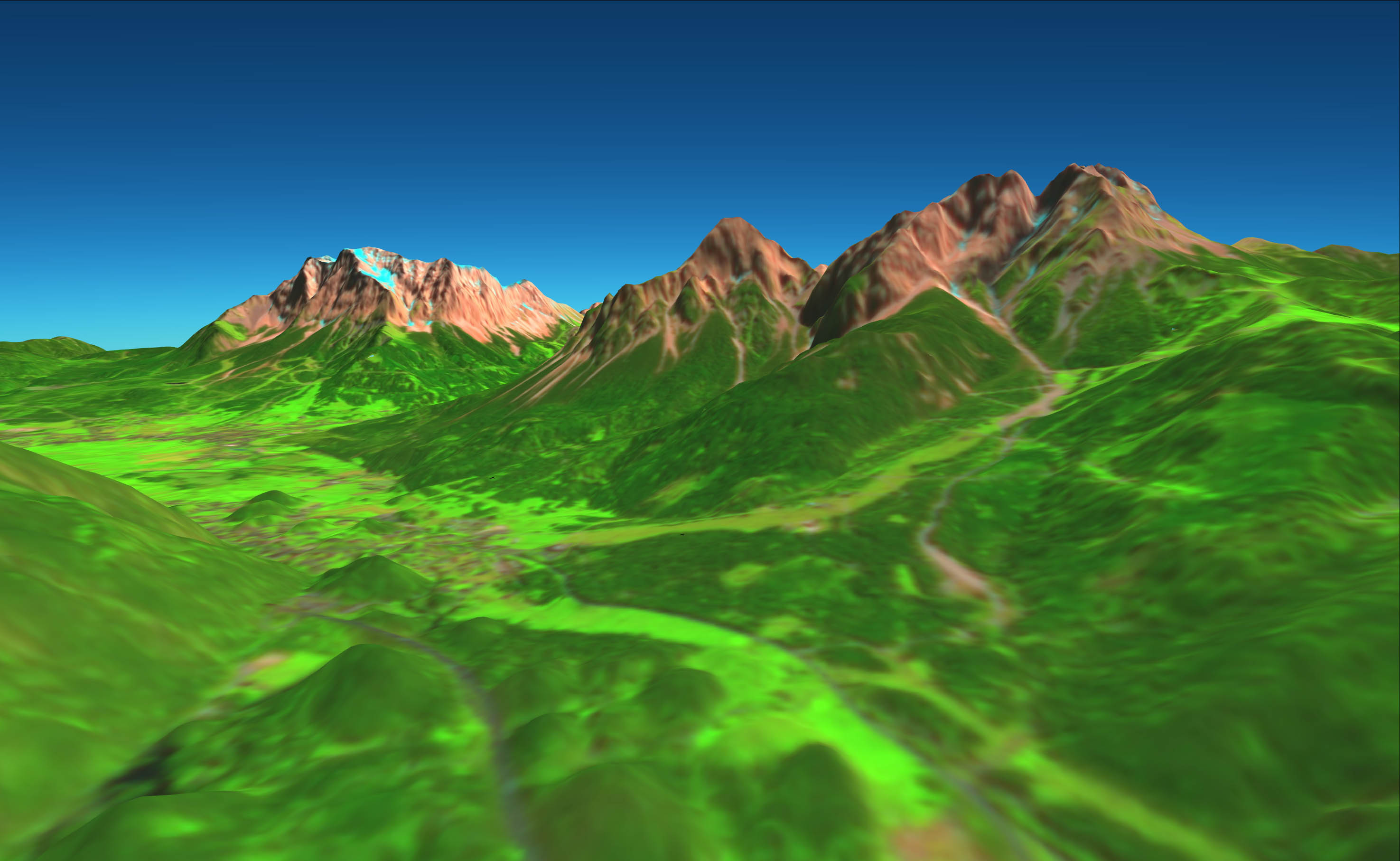
Fernpass, Austria - 3D image with enhanced surface cover and snow layers
---
Visit the Copernicus Data Space Ecosystem YouTube channel to watch the recordings of all CDSE webinars.