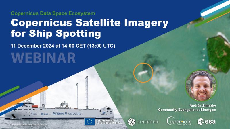
Copernicus Satellite Imagery for Ship Spotting - Copernicus Data Space Ecosystem Webinar

Ship spotting isn’t just something for marine enthusiasts—it’s also an important tool for environmental monitoring and the clarification of events. Satellite imagery, such as those from the Copernicus satellites, provide valuable insights into global shipping traffic. With a resolution of up to 10 meters, these satellites can capture detailed images of large ships, helping users to identify ship types and even create artistic visuals.
Did you know that you can use Sentinel-1 SAR data to monitor shipping traffic through the clouds and even estimate the speed of fast-moving vessels?
Discover how during our upcoming webinar on December 11 at 14:00 CET (13:00 UTC). We will introduce you to online platforms for monitoring vessel traffic and show you how to compare their data with Sentinel imagery using the intuitive Copernicus Browser.
This session is beginner-friendly and open to anyone interested in satellite imagery and its applications for ship monitoring.
Register here to reserve your spot:
We look forward to seeing you there!
---
Visit the Copernicus Data Space Ecosystem YouTube channel to watch the recordings of all CDSE webinars.

