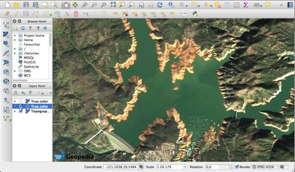
A Minimalistic Way to Tackle Big Data Produced by EO Satellites
18 Jul 16

Amazon Web Services blog features Sentinel Hub and its ways to optimize costs of processing of satellite imagery. Read the interview with Grega Milčinski on how to tackle big data produced by earth observation satellites
The service continues to evolve, so stay tuned for future updates.

