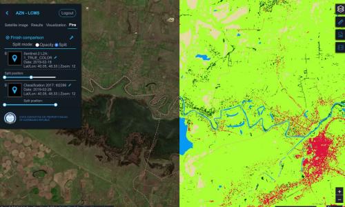
Sinergise has been awarded development, installation and operation of Land Cover Monitoring System by the State Committee on Property Issues (SCPI) of the Republic of Azerbaijan. The goal of the project is to develop a system for manual and automatic detection of changes of land using satellite imagery.
News
Sentinel Hub’s Roadmap for 2019
Sentinel Hub has been operating in production for more than two years, processing millions of requests every day. Many people see it as a tool to produce nice images, powering apps like EO Browser and filling a Twitter feed. In reality, though, it is much more. Sentinel Hub is a data driver to satellite images stored in a cloud, abstracting and generalizing a complexity of various formats, meta-data, processing chains, etc., and making the data available in a faster manner. In coming weeks we will be introducing a new API to make this process even more straightforward. Many new things will follow…
Water crises are one of the Sustainable Development Goals (SDGs), and have been ranked by the World Economic Forum’s 2018 Global Risks report as one of the top ten most serious societal risks facing the world. To be able to predict such disasters, water monitoring is of utmost importance.
Free and open Earth observation (EO) data offered by Copernicus program is creating both great opportunities and complex logistical challenges which need solving. The effort of making satellite data more accessible lead to the establishment of “Data and Information Access Services (DIAS)” projects, where Sinergise is taking part in 3 out of 4 consortia awarded by European Space Agency (ESA). After six months of strenuous work we are happy to see these projects entering into the operational readiness phase.
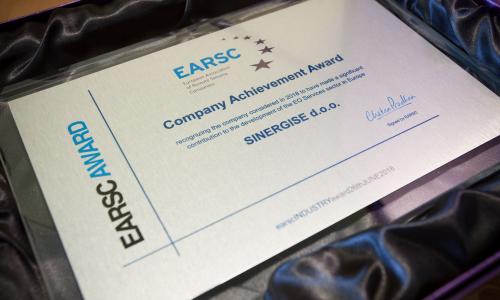
We are pleased to announce that Sinergise has been awarded as the European Earth observation services company of the year 2018. The European Association of Remote Sensing Companies (EARSC) Company Achievement Award was officially recognized during the Association’s Annual Assembly, held in Brussels on June 26, 2018.
EARSC has thereby recognised Sinergise as the company to have made the most significant contribution to the development of the Earth Observation sector in Europe.
Free and open access to high temporal and high spatial resolution Copernicus’ Earth observation (EO) data is becoming a major game-changer in EO sector. New opportunities as well as new challenges are arising at the same time. With today’s kick-off meeting the PerceptiveSentinel project has officially started. It will help to ingest enormous amount of big data, unlock its hidden value and deliver added value to end user community.
Sinergise has become a reseller of Airbus Defence and Space satellite imagery – Pléiades, which will be soon integrated into Sentinel Hub.
We invite you to visit a new homepage of the LandSense project – a Citizen Observatory and Innovation marketplace for Land Use and Land Cover Monitoring.
Sinergise is pleased to be invited to a high-level event "Space Policy for EU Integration” by Mr. Philippe Brunet, director of the EU Directorate-General for Enterprise and Industry. The conference organised by European Commission on the occasion of the 60th anniversary of the Rome Treaties will be held in Rome on 14-15 June 2017.
We are excited to announce we are now members of the European Association of Remote Sensing Companies (EARSC), a non-profit organisation created in 1989 with the mission to foster the development of European Geo-Information Service Industry.

