Land Cadastre
Land Cadastre is an application that aims to produce a complete cadastre of all private and state owned land. Main feature is vector based intelligence with capability for upgrading. Our goal is to make cadastre a multi-purpose cadastre.
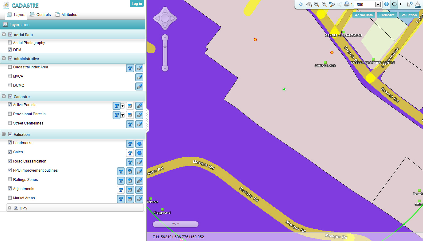
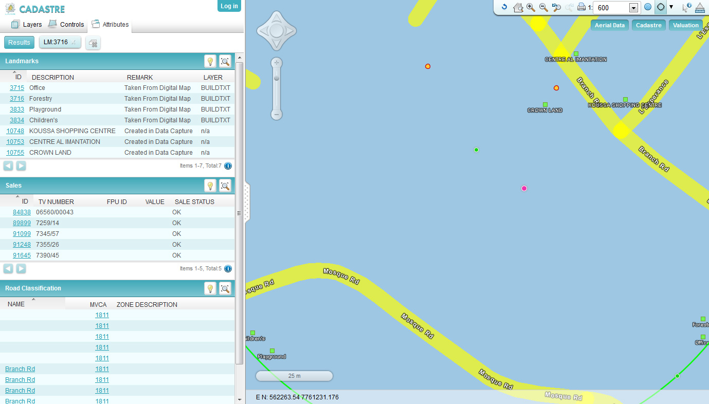
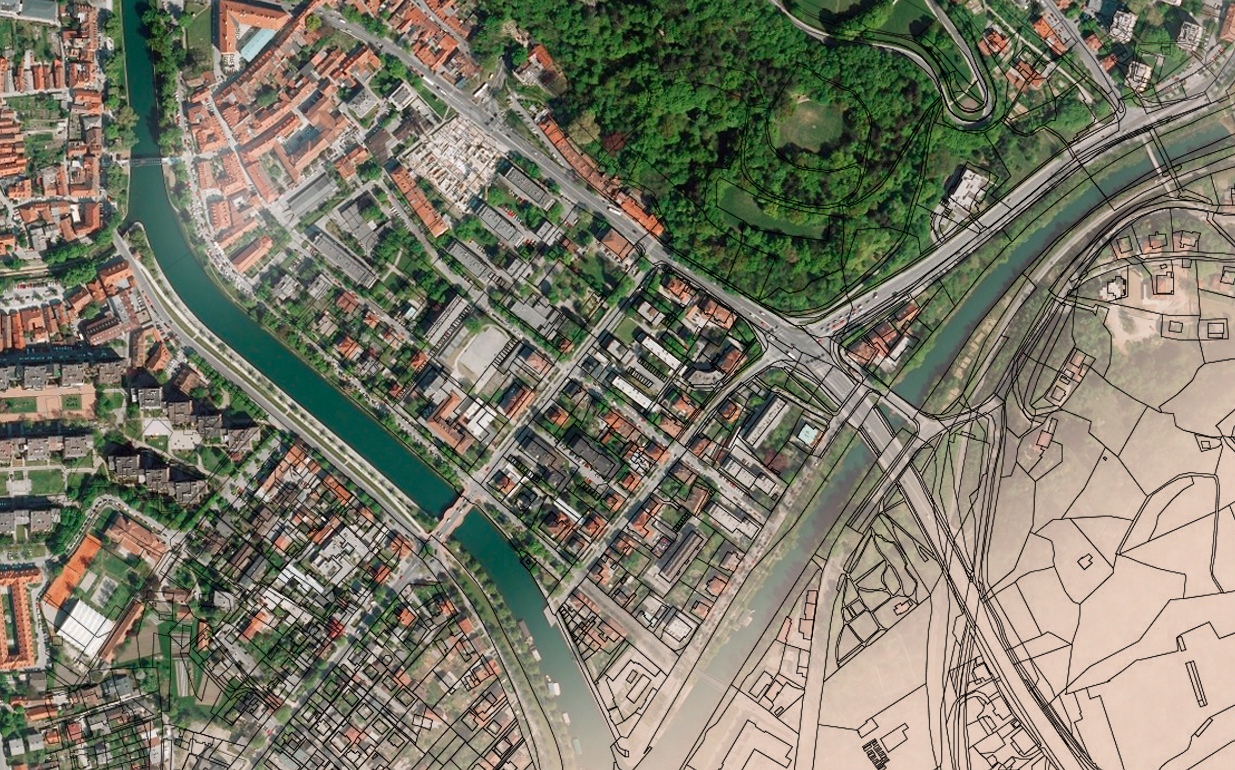
Cadastre placed all located LS plans (and linked deeds) into a geographic context in the new projection. It has full topological relations to neighbours and abutments.
Cadastre potential
- Searching through deeds and maps
- Each property gets PIN plus gets provisional PINs for any planned distraction, sub-division or mutation
- View and map of your property (new projection, compatible with GPS and other modern methods)
- accurate geographic location with links to reference points including fixed, coordinated densified network of control points
- Options to upgrade cadastre
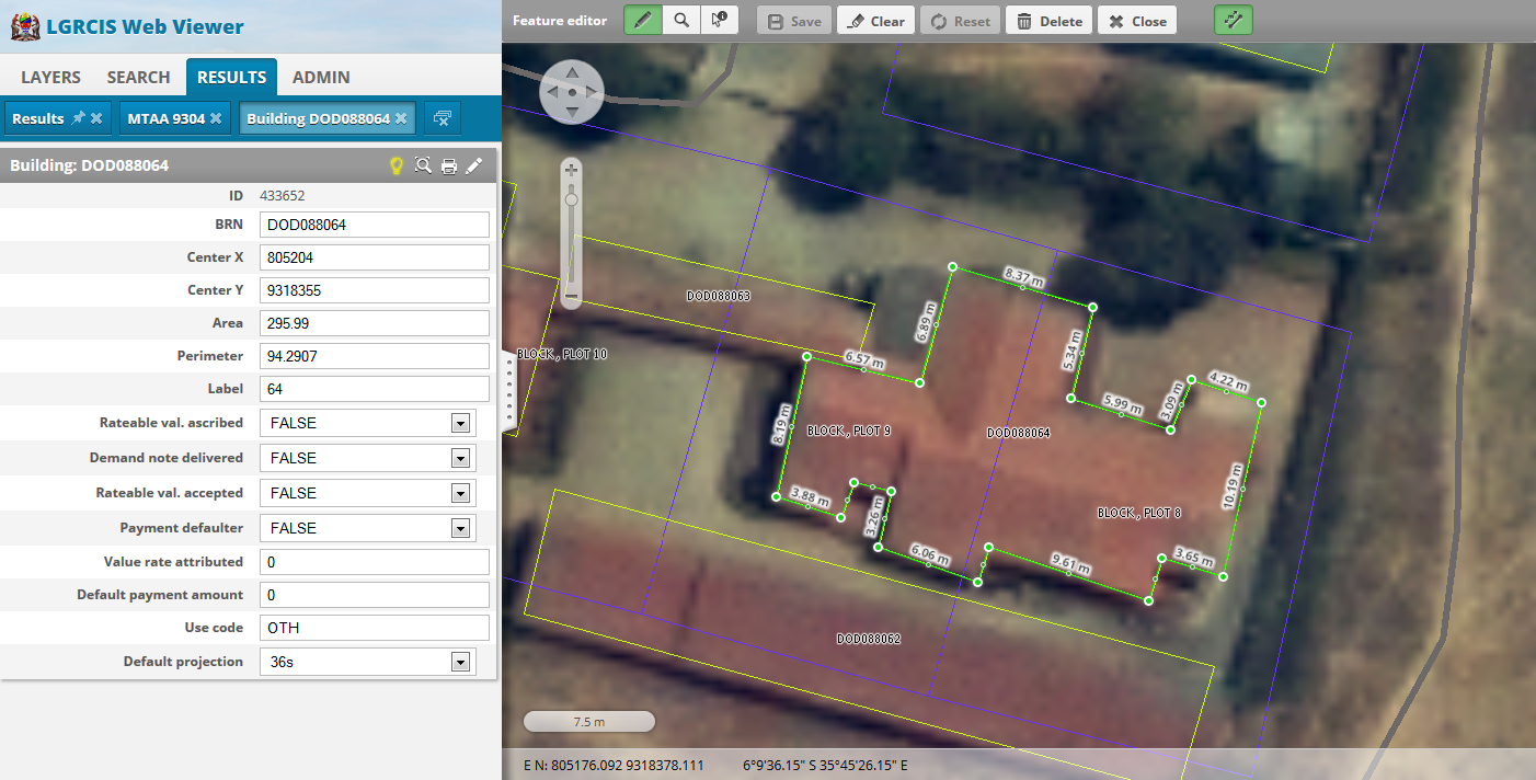
- Accurate description of points, lines and polygons (provenance, precision, method of collection, coordinates)
- Upgradable digital cadastral database (index map) to a fully coordinated cadastre that can be linked with every little deeds and property transaction
Check out two movies of Land Cadastre: Quick Overview and Orthorectification.
Quick Overview
Gallery