We are participating at the largest Geoscience conference in Europe, with a series of contributions focusing on the Copernicus Data Space Ecosystem. We will provide information in various formats from hands-on tutorials to conference presentations, for both beginners and advanced scientists. See the list of opportunities to meet with us!
News
09 Apr 24
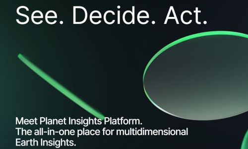
A powerful tooling for unlocking Earth observation data
Planet Labs PBC has just launched the Planet Insights Platform, all-in-one destination for creating multidimensional Earth insights. This platform represents an important milestone as it brings together Planet’s product portfolio with the power of the Sentinel Hub, following the last year's joining forces. By combining analysis-ready Earth data products with cloud-based analytics, you can efficiently analyze, stream and distribute data at scale. This launch enables governments and organizations worldwide to unlock Earth observation data and make informed decisions.
20 Mar 24
Many applications require seamless, unobscured, high-quality images, and are limited by swath width or cloud cover in the Sentinel-2 datasets. The observation of landscapes, the creation of large-scale open maps, but also agricultural and environmental monitoring benefit from Level 3 analysis-ready data.
23 Feb 24
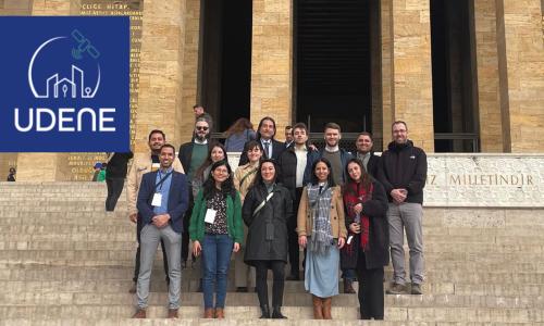
From 12th to 14th of February, UDENE consortium met in Ankara, Turkey, to kick-off this new project. Funded through the HORIZON Europe 2022 Space calls managed by EU Agency for the Space Programme (EUSPA); the project will last until January 2026. UDENE, standing for Urban Development Explorations Using Natural Experiments, gathers 9 partners, from 6 countries including Tunisia, Turkey, Serbia, Italy, France, and Slovenia, to build sustainable urban environments addressing the challenges posed by increasing urbanisation and the effects of climate change.
29 Jan 24

Last Thursday at Science Park Graz, together with ESA BIC, we presented how the Copernicus Data Space Ecosystem can help your business. Among all potential users of Copernicus Data Space Ecosystem, startups have a special place. The Data Space was built to support efficient upscaling of remote sensing solutions, which is exactly what most startups need. The Business Incubation Centres (BIC) of the European Space Agency (ESA) help startups in the space sector develop their product while connecting them to a network of potential business partners.
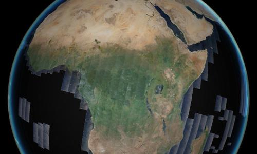
The Beginning of the Copernicus Global Land Cover and Tropical Forest Mapping and Monitoring Service
18 Dec 23
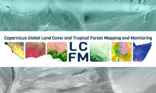
In November 2023, the European Commission's Joint Research Centre (JRC) and a VITO-led consortium signed a four-year framework contract to implement the new Copernicus Global Land Cover and Tropical Forest Mapping and Monitoring service (LCFM) to continue and enhance the 100m Copernicus Global Land Cover layers and provide a dynamic global land cover service at 10m resolution for the years 2020-2026. We are pleased to have been subcontracted to implement the new service.
06 Dec 23
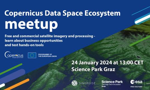
Join us on 24 January 2024 at 13:00 CET at the Science Park Graz for the Copernicus Data Space Ecosystem Meetup! Together with the ESA Business Incubation Centre, we will present how the Copernicus Data Space Ecosystem can advance your business. Don't miss this opportunity and reserve your spot today!
01 Dec 23
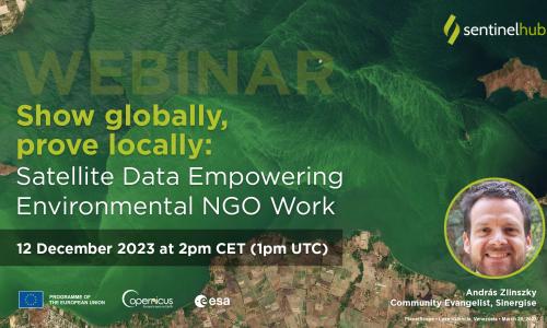
Join our next Sentinel Hub webinar on December 12th 2023 at 14:00 CET where we will talk about how satellite data supports the work of environmental NGOs. You will learn how to use Earth Observation data to support communication and action for the environment.
26 Oct 23
Copernicus Open Access Hub is closing – But you may never want to download a satellite image again.
Many users of Sentinel imagery access the data through the Copernicus Open Access Hub, the former default gateway to download and access data collected under the Copernicus program. However, this is about to change: The new endpoint for accessing Sentinel data is dataspace.copernicus.eu, which provides instant access to the entire Sentinel archive and upcoming imagery. The service provided by Copernicus Open Access Hub will be discontinued at the end of October, and all users will need to migrate to the new service. A migration guide is available here. The former functionality of the Open Access Hub is available in the Copernicus Data Space Ecosystem with minor changes to your code, but new, more efficient solutions are also available.
16 Oct 23
We are pleased to invite you to attend a webinar „Introduction to CREODIAS 2.0 - the first commercial element of the Copernicus Data Space Ecosystem" on 19th October at 14:00 CEST. From the webinar you will learn how to use the new CREODIAS capabilities that make the platform a unique environment for creating and scaling commercial services using Copernicus data.