Copernicus Data Space Ecosystem Webinar: Teaching Geography with Satellite Imagery
Submitted by editor on
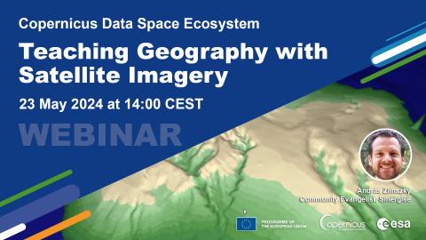
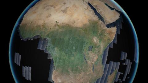
Join us for our upcoming Copernicus Data Space Ecosystem webinar on 23 May 2024 at 14:00 CEST (12:00 UTC) where we will demonstrate how to use satellite imagery for geography education! We'll show you how to search, explore and navigate satellite imagery to explain geographic patterns and processes. Our limited ability to understand scale is often a barrier to understanding what forms the Earth system. We can only understand what we see with our own eyes, but the processes that create landscapes are often hidden.